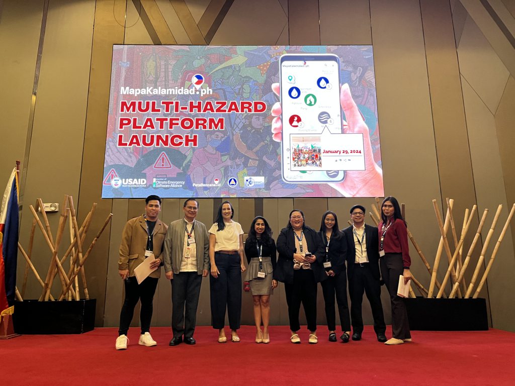
Manila, Philippines – January 29, 2024 – MapaKalamidad.ph, a groundbreaking platform designed to revolutionize disaster reporting in the Philippines, officially launched its multi-hazard platform on January 29, 2024, at Novotel Manila. This cutting-edge platform will enable individuals, communities, and authorities to report earthquake, typhoon, volcanic eruption, and flooding events, providing a comprehensive and real-time view of various hazards affecting the country.
The launch event was graced by the presence of distinguished representatives from the United States Agency for International Development (USAID), the Office of Civil Defense (OCD), the Canadian Embassy in the Philippines, and the Australian Volunteers Program underscoring the significance of this initiative in enhancing disaster preparedness and response efforts in the Philippines.
MapaKalamidad.ph is poised to play a pivotal role in transforming the way disasters are reported and managed in the country. By providing a unified platform for reporting multiple hazards, it will facilitate the timely dissemination of critical information, enhancing situational awareness and enabling swift response to emergencies. This will ultimately contribute to saving lives and minimizing the impact of disasters on communities across the Philippines.
The platform’s user-friendly interface allows individuals to report disaster events directly, providing essential data that can be utilized by authorities to coordinate response efforts effectively. Furthermore, the integration of advanced mapping technology enables the visualization of hazard-prone areas, empowering stakeholders to make informed decisions and implement targeted measures for disaster risk reduction.
“The scale of the challenges we face today cannot be addressed by one institution alone. It is imperative to enable every single resident, and every sector, to be able to participate in disaster risk reduction and recovery efforts, and that is our mission at MapaKalamidad.ph,” said Nashin Mahtani, director of Yayasan Peta Bencana [Disaster Map Foundation], and founder of the Climate Emergency Software Alliance. “By ensuring that everyone can safely, anonymously, and freely view and share real-time disaster information through their mobile phones, MapaKalamidad.ph empowers residents with the decision making tools they need to make critical decisions about navigation and safety. We believe in the power of technology repurposed to connect and empower individuals, fostering communities that collectively respond to and mitigate the impacts of the climate emergency.”
The launch of MapaKalamidad.ph marks a significant step forward in addressing the complex and evolving challenges posed by natural disasters in the Philippines. By harnessing the power of technology and bayanihan, this innovative platform is set to empower individuals, communities, and authorities to work together in building a safer and more resilient nation.
Development of the MapaKalamidad.ph platform is made possible with the support of the Bureau of Humanitarian Assistance of US Agency for International Development (USAID), with the Office of Civil Defense as a primary implementing partner and Mapbox and Humanitarian OpenStreetMap Team as data partners.